Geographic Information System (GIS) Solutions For Commercial Infrastructure: An Invaluable Decision Support Tool
Ellingson provides customized GIS solutions for commercial and industrial facility owners to digitize, visualize, analyze, and gain actionable insights from their infrastructure data.
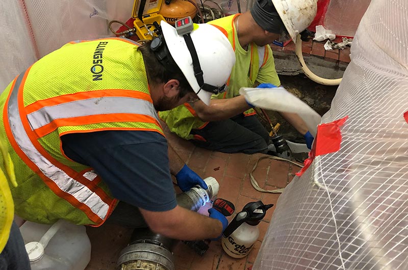
Our expert GIS technicians deploy innovative geospatial technologies to map your facility’s infrastructure, assets, and maintenance records. The data we capture is stored in your personalized online GIS dashboard, providing you with a powerful decision-support tool for infrastructure management, risk mitigation, and capital planning.
Digitize Your Infrastructure Data
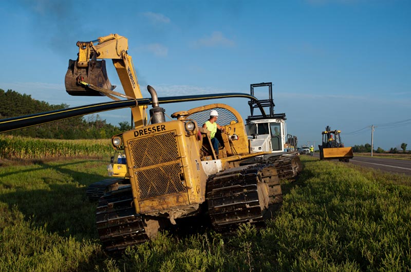
use high-precision surveying equipment, satellite imagery, and mapping drones to capture detailed data on your facility’s infrastructure, including:
- Piping networks
- Underground utilities
- Buildings
- Storage tanks
- Equipment
- Elevation contours
The data we collect is geo-referenced and integrated into your digital maps, accurately representing your facility’s infrastructure that can be analyzed and monitored over time. Modern GIS software lets us capture infrastructure data through field surveys and reviews of your facility’s original design drawings and records. Where records are limited or outdated, surveying and imaging technologies fill in the gaps.
All data we capture is stored in a geospatial database linked to your GIS dashboard. This database acts as a centralized repository for both spatial data (location and geometry of infrastructure) and attribute data (details like material, age, condition, risk factors, etc.). Over time, this database grows into a comprehensive digital catalog of your facility’s infrastructure that can be mined for insights to drive key business decisions.
According to multiple research studies, including an analysis published in the Journal of Infrastructure Systems and a report by Stanford University’s Frost & Sullivan program, subsurface infrastructure owners who invest in geospatial data capture and GIS platforms for asset management and decision support realize significant benefits, including:
- Reduced risks and costs associated with catastrophic failures. With an accurate map of subsurface assets and the ability to model failure impact scenarios in GIS, owners can identify and address high-risk assets before costly emergency repairs are needed.
- Improved capital planning. GIS-based asset management allows owners to track the condition and estimated replacement timeline for all infrastructure components so funds can be budgeted and allocated efficiently with minimal surprises.
- Maximized ROI on infrastructure investments. When GIS is used to analyze factors like customer demand levels, population growth projections, economic development plans, and current asset conditions, strategic upgrades and replacements that balance costs with future benefits are possible.
- Streamlined operations and maintenance. GIS provides a geospatial context for maintenance data, allowing owners to optimize schedules, routes, and resource allocation based on priority and proximity.
- Regulatory compliance. A detailed GIS-based inventory of infrastructure assets and their attributes facilitates reporting and monitoring required to comply with environmental, safety, and financial regulations.
Visualize Your Infrastructure
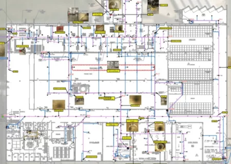
Your GIS dashboard provides interactive 2D and 3D maps of your facility, allowing you to visualize all infrastructure components’ location, size, material, age, and condition. Zoom in for a close-up view of any area or asset. Turn layers on and off to see different infrastructure networks. Spin the 3D map to view your facility from any angle. Color-coded maps can also indicate each asset’s risk level or maintenance priority.
3D modeling provides an intuitive visual interface with your infrastructure data. As-built designs, survey coordinates, and asset attributes are integrated to create a virtual replica of your facility that allows you to:
- Trace the path of any pipe, cable, or duct through walls and underground structures.
- Measure lengths, diameters, and other parameters of any components.
- View the proximity and potential conflicts between different utility systems to avoid issues during excavations or new construction.
- Animation tools show how proposed changes will impact the virtual model before costly modifications are made in the real world.
- Identify any data gaps or inconsistencies that need to be addressed through additional field surveys to ensure a fully accurate 3D model and GIS database.
- Interactive 2D maps provide a geospatial overview of your facility and access to asset attributes in their associated records. Data layers can be turned on and off, and symbology can be customized to highlight different infrastructure types or risk characteristics. Like a 3D model, 2D maps show the connectivity and interrelationship between components, support measurement, and proximity analysis, and provide an interface for investigating and manipulating data within the GIS database. 2D and 3D maps transform your infrastructure data into actionable visual intelligence.
Gain Valuable Insights
With a geographic context for all your infrastructure data, you can uncover key insights to optimize operations, minimize costs, and mitigate risks:
- Identify areas or assets most susceptible to failure or critical for operations. GIS allows you to analyze factors like age, material defects, high operating pressures, corrosive conditions, lack of redundancy, etc., to determine each component’s likelihood and consequence of failure. Those assets posing the highest risk can then be addressed to avoid disruptions.
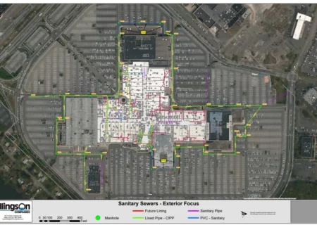
- Analyze the impact of different failure scenarios on your facility. GIS software includes tools to model the ripple effects of pipe bursts, equipment malfunctions, structural collapses, flooding, fires, and other disaster events to evaluate response plans and preparation requirements. Scenario planning with GIS identifies your facility’s vulnerabilities so you can determine risk mitigation tactics.
- Prioritize maintenance and capital projects based on risk factors like age, material, soil conditions, traffic levels, etc. GIS lets you rate all assets’ condition and replacement urgency based on statistical probabilities and expert system rules. Projects are then sequenced optimally based on priority, budget, and operational impact.
- Calculate the total lengths and diameters of pipes and cables to determine replacement needs and costs. The asset inventories in your GIS database provide an overview of material requirements and approximate replacement expenses based on industry cost indexes. Over time, tracking replacement rates for different assets helps identify repair and renewal funding requirements over time.
- Monitor infrastructure performance and condition changes over time. As new inspection data, testing results, and work orders are added to the GIS database, maps and models can be updated to show deterioration in pipe walls or equipment, increasing pressure levels, changes in land use, and other factors impacting your infrastructure. Overlays of data from different points in time allow you to track performance trends and anticipate future needs.
- Plan maintenance routes and schedules more efficiently. GIS mapping of crew locations, asset conditions, and other variables allows you to sequence work orders promptly and cost-effectively. Route optimization tools provide the most logical travel paths between job sites based on priorities, traffic patterns, and site requirements.
Make Informed Decisions
Your GIS dashboard is designed to support data-driven decision-making for infrastructure management. All information is stored in a centralized location and updated in real-time as new data becomes available. You have the insights and tools at your fingertips to:
- Develop proactive maintenance and rehabilitation plans to address issues before failures occur. Prioritized risk ratings, statistical failure probabilities, and deterioration modeling within GIS point to components needing repair or replacement soon to prevent unplanned downtime.
- Allocate limited resources and budgets to the highest priority needs. When risks, costs, benefits, and other factors are analyzed in GIS, projects with the most significant impacts can be funded before less critical work. ROI scenarios for different projects help determine where money is best spent.
- Evaluate the costs and benefits of different capital projects. GIS mapping of current asset conditions, demand projections, environmental impacts, and economic development plans provide context to help you choose between rehabilitation, replacement, upsizing, rerouting, or leaving infrastructure as-is for maximum value over its intended lifespan.
- Ensure compliance with environmental protection, worker safety, and asset security regulations. A GIS cataloging infrastructure components, locations, attributes, operating parameters, inspection/testing records, and maintenance history provides the documentation and reporting necessary to meet federal, state, and local regulatory guidelines. Required data can be quickly mapped, modeled, extracted, and analyzed.
With an accurate digital record of your infrastructure and the ability to conduct spatial analysis, you can optimize the operation and management of your commercial or industrial facility. Ellingson’s GIS solutions provide the foundation for a robust infrastructure asset management program.
Our team has the experience to deploy GIS for utilities, facilities, and networks based on your organization’s unique needs, risks, and resources. Contact Ellingson today to learn more about putting the power of geospatial decision support to work for you.
PIPE INSPECTIONS & ASSESSMENTS
Industry Associations




Past Projects
Click and view some of our recent projects.
Contact us to learn more
Have a question? Need an estimate or more detail on our services?
Or just want a call-back? Let’s get in touch.
